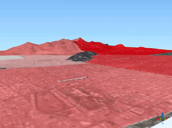
Urbanity and Mountain altitude
A spatial model was developed to analyze elevation, population density, and housing conditions in Quito, revealing how altitude influences the real estate market and residents' quality of life. The insights gained help drive smarter urban planning, optimize housing policies, and improve infrastructure to better serve the city’s growing population.
Read more...